Christiansburg Industrial Institute, Hill School and the Schaeffer Memorial Baptist Church – 1913 Sanborn Fire Map

This 1913 Sanborn Fire Map of Christiansburg, Virginia offers a rare glimpse into the heart of the town’s early African American community during segregation. The map identifies key institutions including the Hill School Elementary, the Christiansburg Industrial Institute, and Schaeffer Memorial Baptist Church — places that anchored education, faith, and community life for Black residents in Montgomery County.

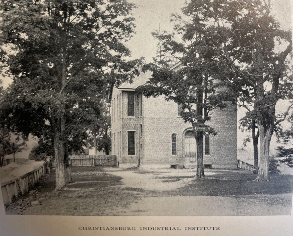
The Sanborn Fire Insurance maps are often the only early glimpse of buildings in rural towns over time. Christiansburg Industrial Institute moved from the Zion Hill location to the Lattimer Plantation site, north west of Christiansburg, at the turn of the 20th Century. This Sanborn Fire Insurance Map from Christiansburg, Montgomery County, Virginia was published by the Sanborn Map Company, dated Sep, 1913. The key to the maps is at the end.

1913 Christiansburg Industrial Institute

1913 Sanborn Fire Insurance Map (Courtesy of the Library of Congress)

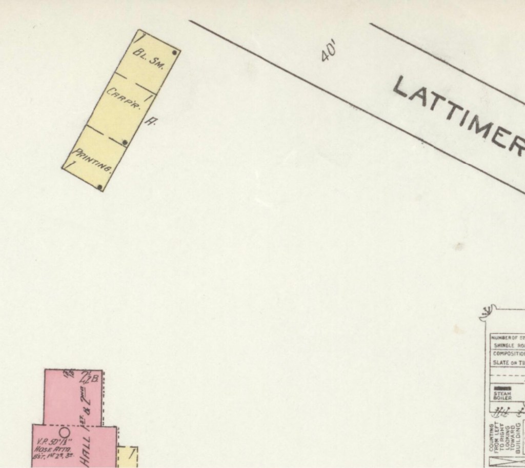
The map is of Christiansburg Industrial Institute, situated north west of Cambria and north of Christiansburg courthouse. Note that frame constructed buildings are coded yellow and red for the solid brick building. The Baily Morris Building which housed the girls dorm, assembly hall, dinning hall and kitchen (close-up below) is heated by steam and lighted by electricity.

“Baily-Morris” Building

The Morris Hall Boys’ Dorm is both red and yellow, denoting built of a combination of building materials. The building is heated by hot water and lighted by electricity. Note that the buildings were supplied with water by 2,500 ft of pipes connected to the 10K gal water tank on the hill. The tank is filled by a Worthington Pump, moving water from a spring.

The girls and boys dorms were named for two Friends’ of the Freedmen of PA, Elliston P. Morris and Joshua L. Baily. They also donated money to construct the water system which was installed in 1907, before either Christiansburg or Blacksburg had a community water system. (A Vision of Education, Selected Writings of Edgar A. Long, Anna Fariello, Ed. Christiansburg Institute, Inc. 2021, pg 86,)

The Lattimer Mansion House, wood framed, was heated by stove and not connected to the water supply. The house was used as classrooms. Note the printing, carpenter and black smith shop close to the entrance road.

1913 Hill School & Schaeffer Memorial Baptist Church

1913 Sanborn Fire Insurance Map (Courtesy of the Library of Congress)

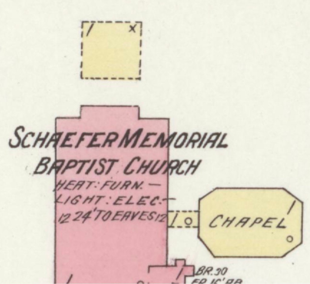
This map is of Zion Hill which is located on the ridge (now High Street) between Cambria and Christiansburg. The brick (red) “Public School” housed the Christiansburg Industrial Institute before that secondary school moved to the Lattimer Plantation property by the turn of 20th century. This brick school, built by 1885, was converted to a primary school for African American children after CII moved. As noted by the Sanborn map, the building was heated by stoves and lighted by electricity.

Image of the Hill School from The Story of a Consecrated Life, Commemorative of Rev. Charles S. Schaeffer by CH Harrison, 1900. High Street is visible.

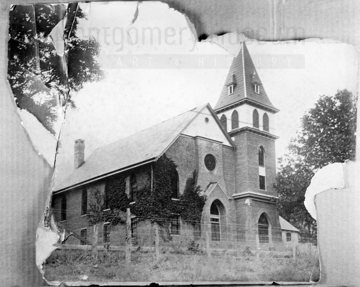
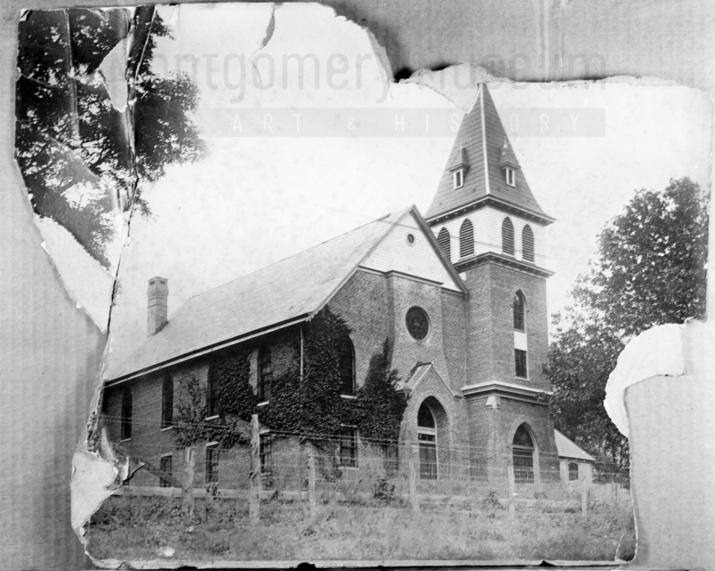
The Schaeffer Memorial Baptist Church is also of brick and built by 1885. Charles S Schaeffer’s memorial brass plaque were unveiled 1 October 1899, after he died in May of that same year. Note the frame chapel to the left (east) of the brick structure.

Image of Schaeffer Memorial Baptist Church from The Story of a Consecrated Life, Commemorative of Rev. Charles S. Schaeffer by CH Harrison, 1900. High Street is visible in the foreground.
Later photograph, courtesy of the D.D. Lester Collection, Montgomery Museum of Art & History

On the Sanborn map, note the small frame, 1 story building behind the church? This may be the first school/church building on Zion Hill. The deed (DB S, pg 12, Oct 1868) and Harrison, 1900 * note the existence of this building. The brick school on the 1913 Sanborn map was the third version of this school at this site. The second school on Zion Hill was a 2 story & frame building, used between 1974 and 1885. (The rented Campbell house was the first school but it was not located on Zion Hill.)*

The image of the small school/meeting house shows a one story frame building with hip-roof and double stove-pipes. The dressed limestone block foundation was typical in this area and seen on buildings dating from early 1800s to the turn of the 20th century.

Image of the first school house on Zion Hill from The Story of a Consecrated Life, Commemorative of Rev. Charles S. Schaeffer by CH Harrison, 1900. High Street is visible in the foreground.

* The images and much of the information about Zion Hill comes from The Story of a Consecrated Life, Commemorative of Rev. Charles S. Schaeffer by CH Harrison, 1900.

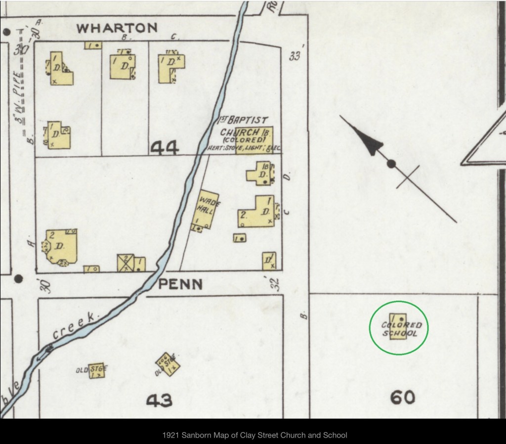
The last interesting note about the Sanborn map is that the church was 160 feet to the Fire Department. The map did not indicate a source of water.

Searching for Their Name – Cambria, VA

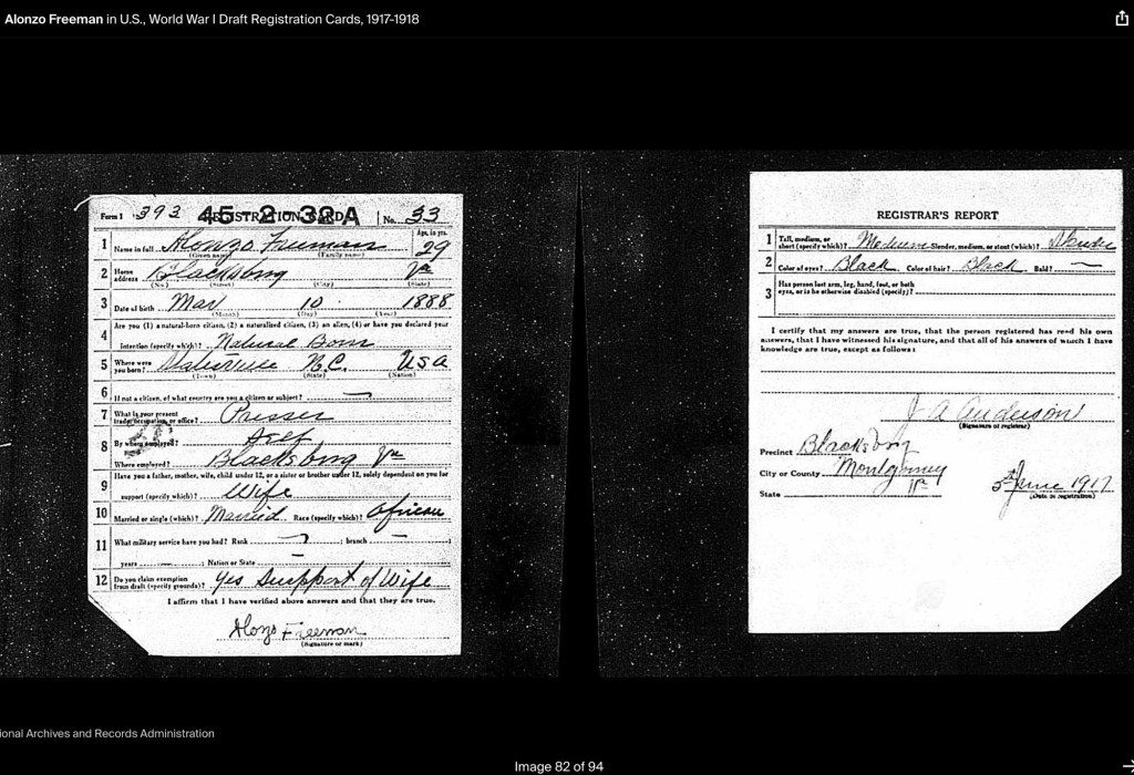
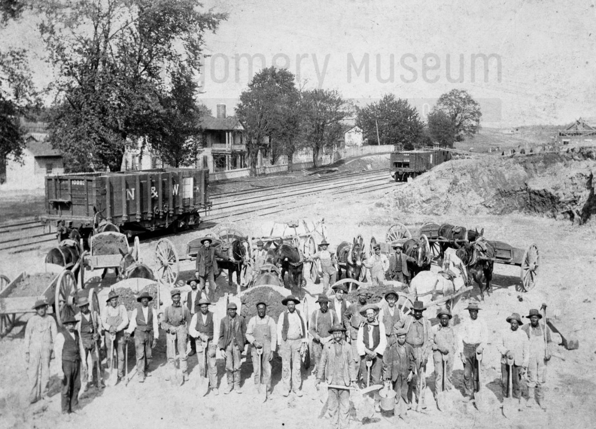
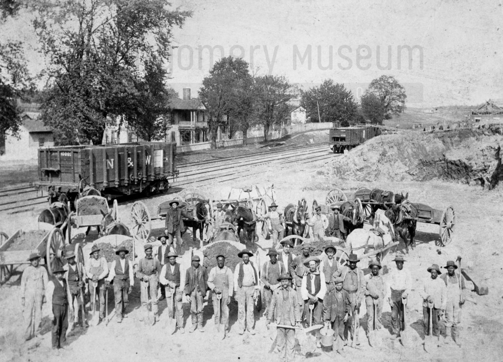
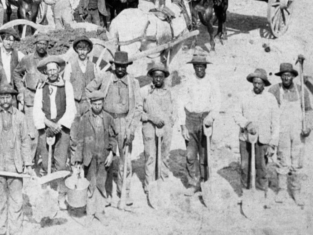
In 1904, a mixed-race crew built the new Cambria, Virginia Depot passenger station. Their faces were captured, but their names were not. As we search census records and explore new tools like AI facial recognition, we hope to uncover who they were — the hands and lives behind this piece of our shared history.

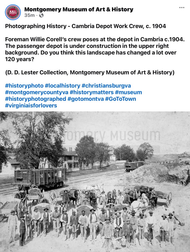
This 1904 photograph captures a work crew—Black and white men together—building the new passenger station for the Cambria, Virginia Depot. It’s a remarkable image of shared labor and community effort during a time of deep segregation.

Yet, like so many images from the early 20th century, the men remain unnamed, except for the foreman, Willie Corell. Their faces look back at us across more than a century, but their identities have been lost to time. Who were they? What were their lives like?

With advancing technology, tools like AI facial recognition may one day help uncover their names and family connections. Until then, our research turns to the 1900 and 1910 census records, where we hope to find traces of the African American laborers who helped shape the Cambria community and build this station that still stands as part of our shared history.

If you have family stories, photographs, or names that might help identify these men, we would love to hear from you. Each clue brings us closer to giving them the recognition they deserve.

The Fisk University Rosenwald School Digital Collection is Now Public!

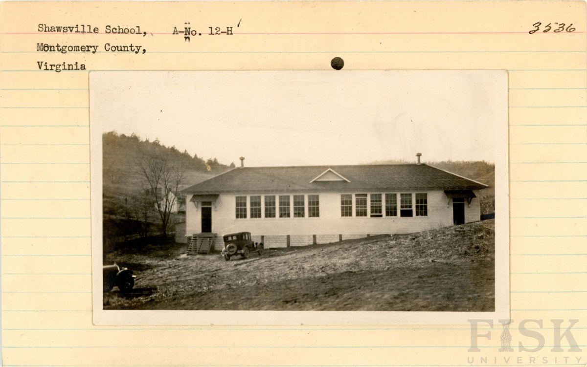
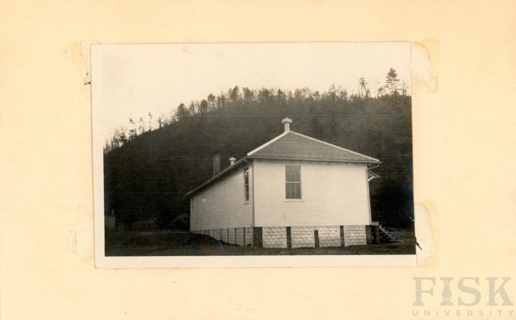
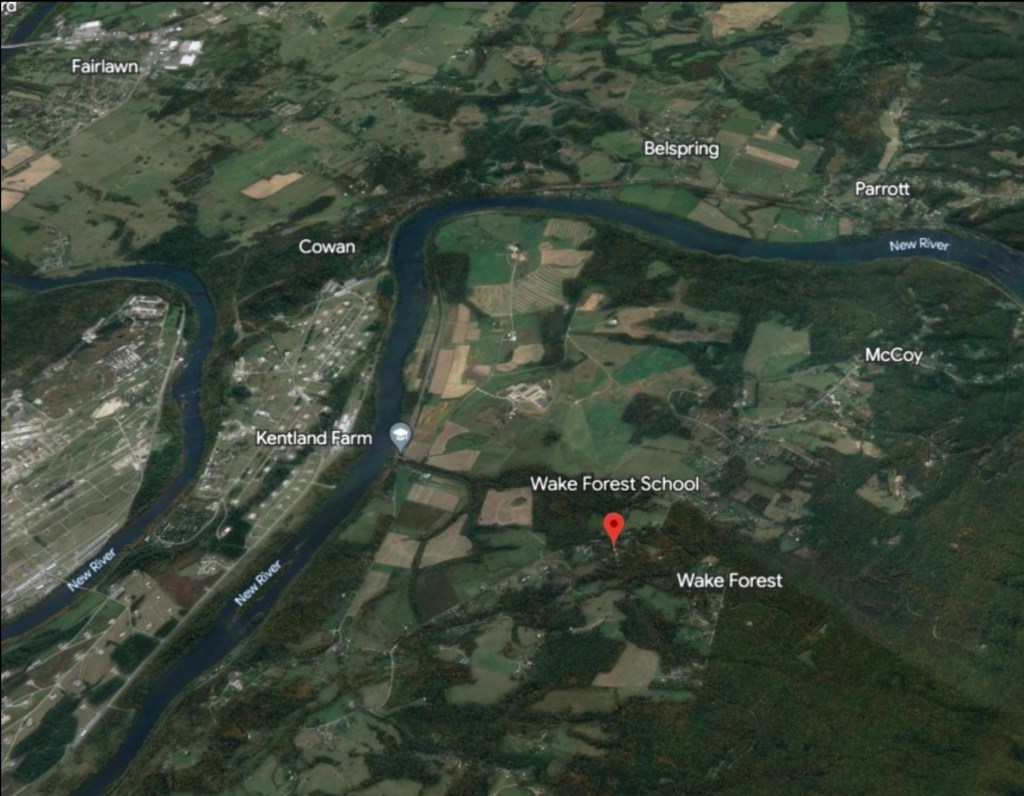
Fisk University has released its Rosenwald School Digital Collection, preserving and sharing the history of these vital institutions. In Montgomery County, the collection highlights schools built through the determination of African American communities in Elliston, Pine Woods, Shawsville, and Wake Forest.

Fisk University has made its Rosenwald School Digital Collection publicly accessible, a significant step in preserving and sharing the history of these important institutions. For Montgomery County, the collection documents the Rosenwald Schools established through the determination and vision of African American communities in Elliston, Pine (Piney) Woods near Riner, Shawsville, and Wake Forest.

Although only the Wake Forest school remains today—adapted for use as a private residence—the collection ensures that the legacy of all three schools endures. These schools stand as a testament to community leadership, resilience, and the transformative power of education during the early twentieth century.

The Story of Rosenwald Schools

The website (scroll down) offers a wealth of information: the story of Julius Rosenwald and his vision, the purpose of the school fund, the significance of the school designs, and the requirement that African American communities contribute a share of the cost. Visitors will also find maps, photographs, and documentation of schools across the region and beyond.

https://www.facebook.com/reel/1513571033035943/?fs=e&fs=e

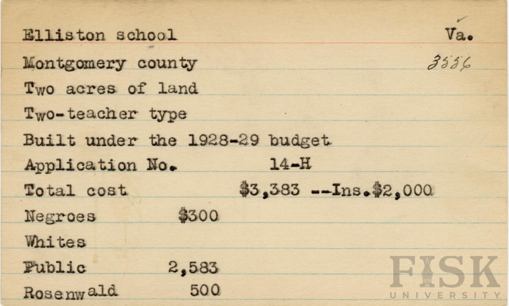
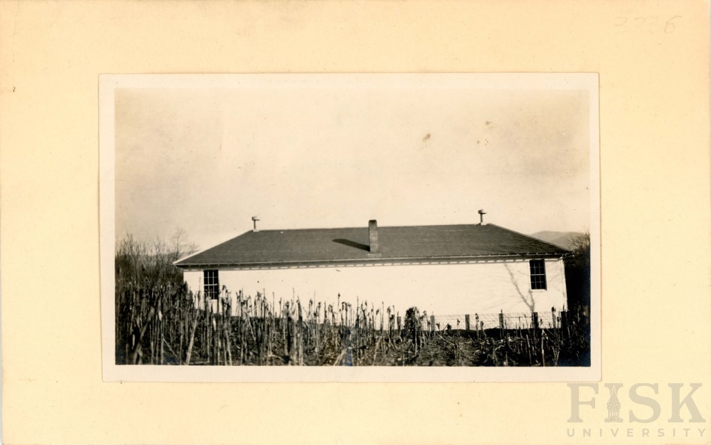
Elliston School

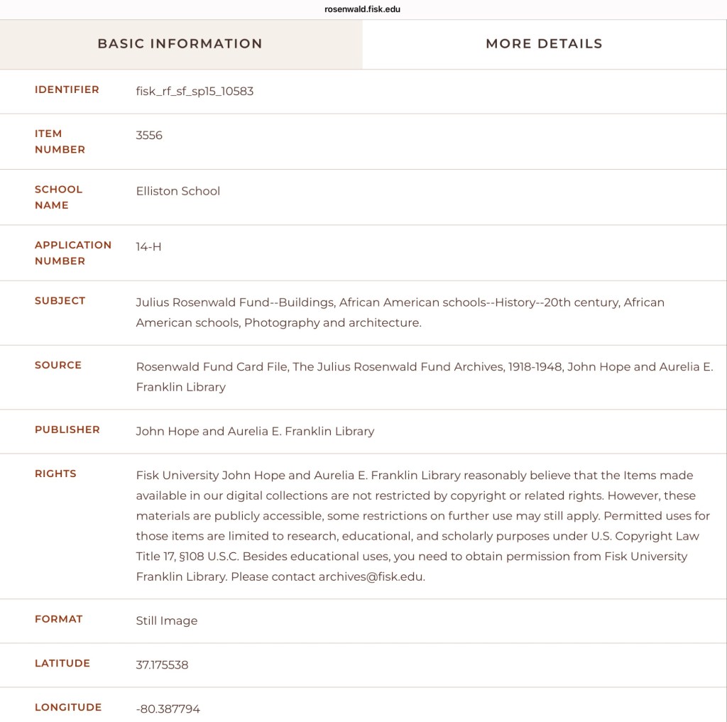
Built in 1928–1929, the Elliston Rosenwald School reflects the determination of the local African American community to provide better educational opportunities for their children. Families in Elliston raised $300 toward the project, which was matched by $500 from the Rosenwald Fund and $2,583 from the Montgomery County School Board.

The school stood on two acres of land and housed two classrooms, each with its own teacher. The school was located on Brake Road, in the Allegheny School District. The legacy: the Elliston Rosenwald School was a center of learning, community, and pride during an era when access to education was hard-won.

Pine Woods School

The Pine Woods Rosenwald School (Piney Woods) was built in a two-teacher design under the supervision of Tuskegee University. The school was sited on Piney Woods Road, in the Auburn School District. While the exact construction date is unknown, records indicate the total cost was $1,075. Of that amount, the Rosenwald Fund contributed $300, the African American community raised $275, and the Montgomery County School Board provided $500.

Unlike white schools of the period, which were fully funded by the School Board, African American families were required to make direct financial contributions toward the construction of their schools. This inequity underscores both the systemic barriers they faced and the extraordinary commitment of the Pine Woods community to ensuring education for their children.

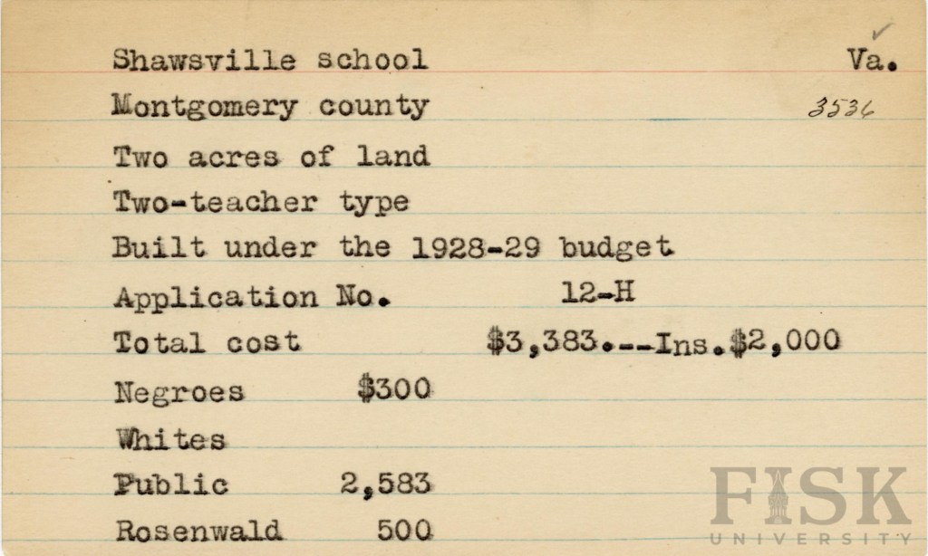
Shawsville School

Constructed between 1928 and 1929, the Shawsville Rosenwald School followed a two-teacher design overseen by the Montgomery County School Board. The total cost of $3,383 was shared among the Rosenwald Fund ($500), the African American community ($300), and the Montgomery County School Board ($2,583).

At the time, Shawsville, of the Allegheny School District, was a thriving hub, energized by railroad service and new road (US Route 11) construction projects. These opportunities drew African American laborers and rail workers to the area, many of whom invested their limited resources into building a school for their children. Their contributions—financial and communal—stand as a testament to the determination of Shawsville’s African American families to secure education despite inequities in public funding.

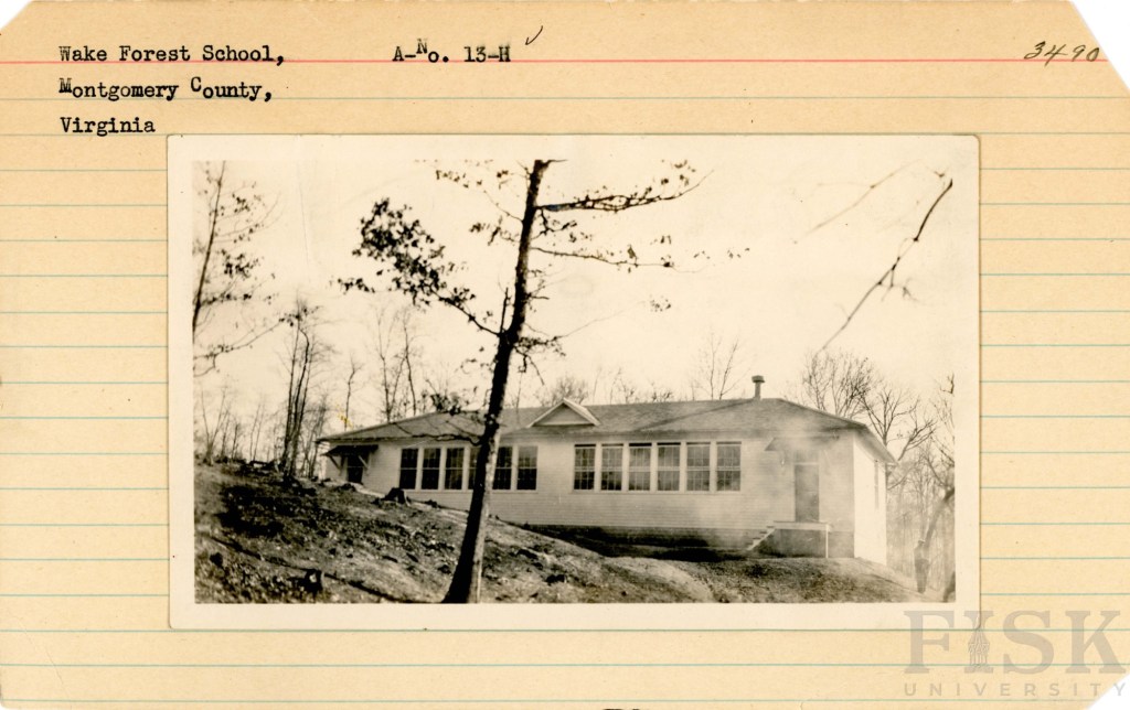
Wake Forest School

Constructed between 1928 and 1929, the Wake Forest Rosenwald School followed a two-teacher design on a two-acre site, in the Blacksburg School District, overseen by the Montgomery County School Board. The project cost $3,383, with funding shared by the Rosenwald Fund ($500), the African American community ($426 in 1928, about $7,500 in today’s value), and the Montgomery County School Board ($2,457). This school is now a private residence.

The Wake Forest community at this time was made up of independent farmers, farm laborers, boatmen, railroad workers, teamsters, and domestic workers. As coal extraction began to rise and reshape the region’s economy, African American families recognized that education would be essential for their children’s future. By pooling their resources—despite economic hardship—they ensured access to schooling that could open paths beyond the limits of labor and provide new opportunities for the next generation.

Montgomery County Resources

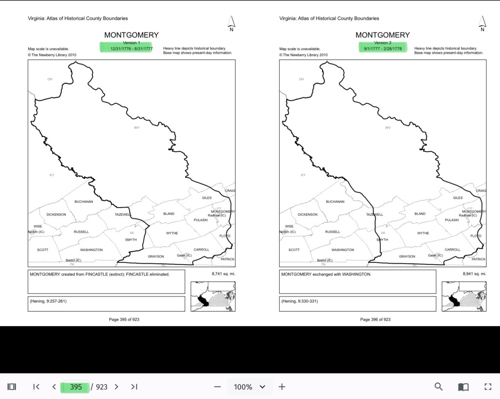
Montgomery County, Virginia Resources and the Formation of the County Over Time

National Register of Historic Places Application – 1989

National Register of Historic Places Application – 1989

This searchable document is a rich source of information about the county and its wider connections. For example, it notes that the New River boatmen once lived on Kent Farm, where they were enslaved by James Randle and Margaret Cloyd Kent prior to emancipation (see page 13). Additional details about Kentland and these freedmen can be found in the following postings: Historic Kentland and Historic Wake Forest

The names of some of the black boatmen of 19th-century Montgomery County include Frank Bannister (who was a boatman on the James River before the Civil War), Calvin Bannister, Roland Stuart, George Brown, and Lewis Smith.


Montgomery County Reconnaissance Level Survey, 1986

This report that was written by Gibson Worsham, Dan Pezzoni, Charlotte Worsham, David Roenizer, and others. It addresses the following: 1) Overview of the county’s history, 2) A comprehensive inventory of significant structures and sites in the county and 3) Maps delineating the location of said structures and sites. Similar to the report above, this is a wealth of information about the county.


More information can be found on this website: Gatherings Blacksburg History


The Formation of Montgomery County, Virginia and Why it Matters to African American History of the Region

When Virginia’s earliest European colonial settlers first pushed westward beyond the Blue Ridge Mountains, they entered the border lands already inhabited by Native peoples for thousands of years. As Europeans laid claim to these territories in the 18th century, Virginia’s county boundaries began shifting rapidly to keep pace and the need for local governance.
At first, all of western Virginia was considered part of vast counties based far to the east. Augusta County, created in 1738, stretched from the Blue Ridge to the Mississippi River—a landmass so large it was nearly impossible to govern effectively. As settlement expanded, Augusta was gradually carved into smaller counties.

Botetourt County was created in 1770 out of Augusta, and just two years later, in 1772, Fincastle County was formed to cover the far southwest. But Fincastle itself was short-lived: in 1776, it was split into three new counties—Montgomery, Washington, and Kentucky (the latter eventually becoming the Commonwealth of Kentucky).

Thus, Montgomery County was officially established in 1776, named in honor of General Richard Montgomery, a Revolutionary War hero.

Like most early counties, Montgomery did not remain the same size for long. As population grew and communities demanded closer courts and local representation, Montgomery’s original boundaries were gradually reduced.

  • 1790: Wythe County was formed from Montgomery.
  • 1790: Parts of Montgomery contributed to the creation of Kanawha County (now in West Virginia).
  • 1806: Giles County was carved from Montgomery, Monroe, Wythe, and Tazewell.
  • 1831: Montgomery giving land to Floyd
  • 1839: Montgomery giving land to Pulaski
  • 1892: City of Radford

By the mid-19th century, Montgomery County had taken on the approximate shape we recognize today.

Why This Matters

Tracing these changing boundaries shows how the western border lands of Virginia evolved from a vast Indigenous landscape into the network of counties we know today. When we study Montgomery County’s formation and its changing borders, we are not only tracking political geography—we’re also uncovering how those shifts shaped the daily realities of enslaved people and freedmen. The “line on a map” often meant the difference between where families were recorded, where they could live, and how they could begin to claim freedom and opportunity.

County seats like Christiansburg were not only centers of trade and government but also of the slave market and the courthouse records that tracked the lives of enslaved people. After emancipation, those same courts became the places where freedmen registered marriages, secured contracts, and sought land. As county lines shifted, so too did the jurisdictions that controlled access to justice, opportunity, and community life.

The flip book of maps below is a helpful resource to understand how the boundaries changed with time. Begin on page 395.

Virginia Atlas of Historical County Boundaries

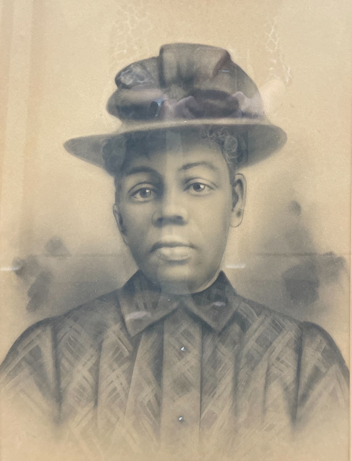
Crayon Enlargement Portraits – Lost Faces

Crayon Enlargement Portraits were popular between the late 1890s and early 1900s. They provided an affordable way to capture and display large-format portraits, offering an alternative to the more expensive painted portraits of the time.

Crayon Enlargement Portraits were popular between the late 1890s and early 1900s. They provided an affordable way to capture and display large-format portraits, offering an alternative to the more expensive painted portraits of the time. The process involved taking a negative made by a local photographer and sending it to a specialist who used a solar enlarger to expose the image onto specially processed salted photographic paper. Because the enlargement process often emphasized imperfections on the negative plate, an artist would enhance the black-and-white print with pencil and crayon media, sometimes adding color.

The unidentified African American portraits featured on this website have been donated to local museums or found in antique shops. They are presented here in the hope of eventually identifying the individuals and preserving their stories.

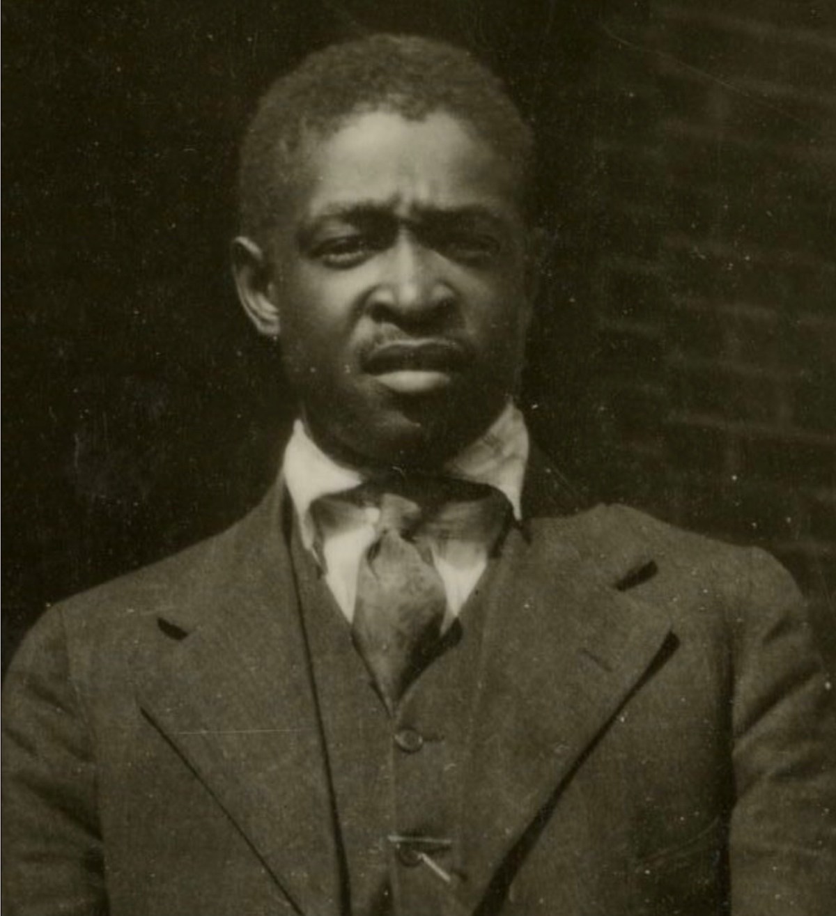
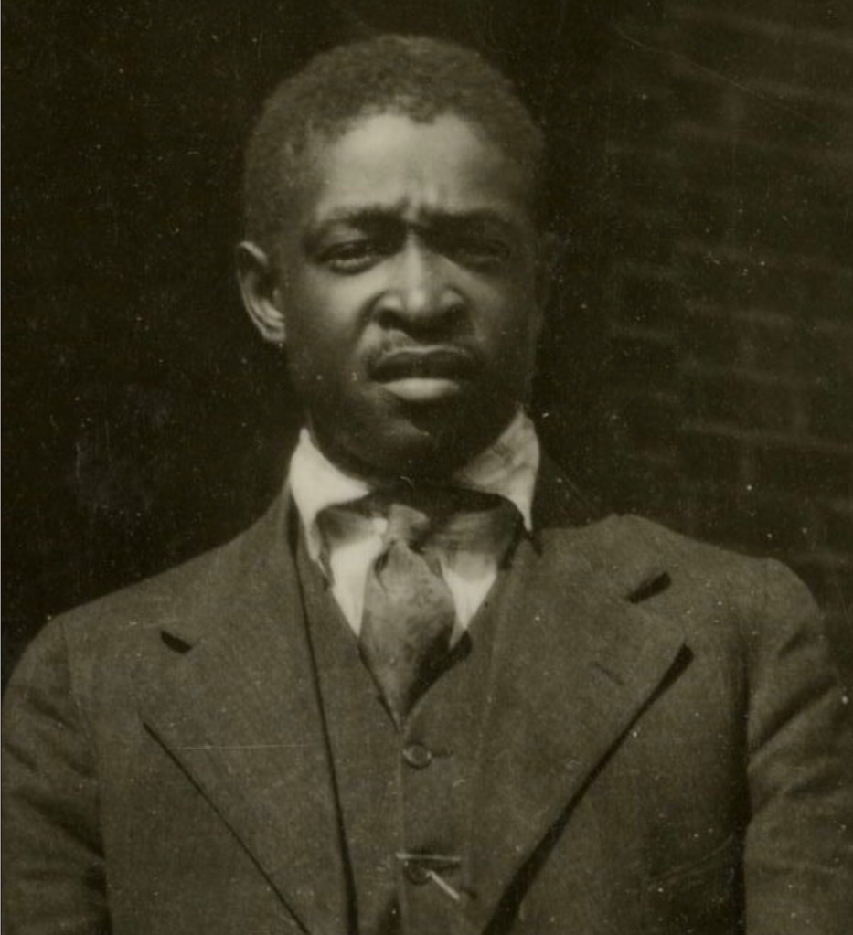
Portrait of an unknown man (Courtesy of Montgomery Museum of Art and History)
Portrait of an unknown man, found in a New Town house, Blacksburg, Va (Courtesy of Montgomery Museum of Art and History)
Portrait of an unknown woman (Courtesy of Montgomery Museum of Art and History)
Portrait of an unknown man (Courtesy of Christiansburg Institute, Inc)

Resources

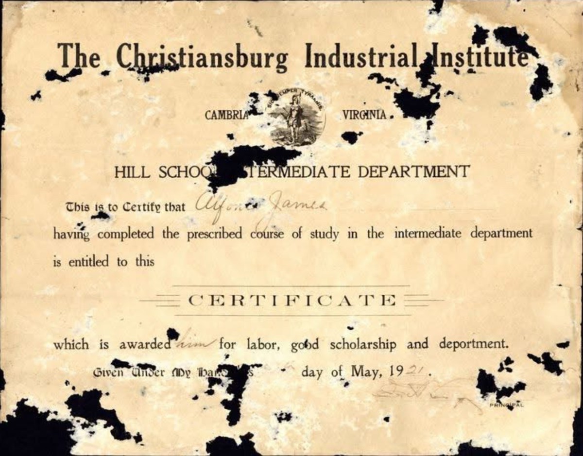
Alfonzo James: A Life Dedicated to Education and Community Service

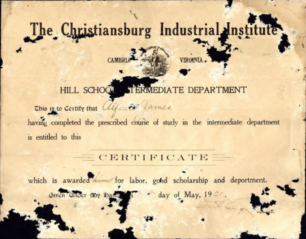
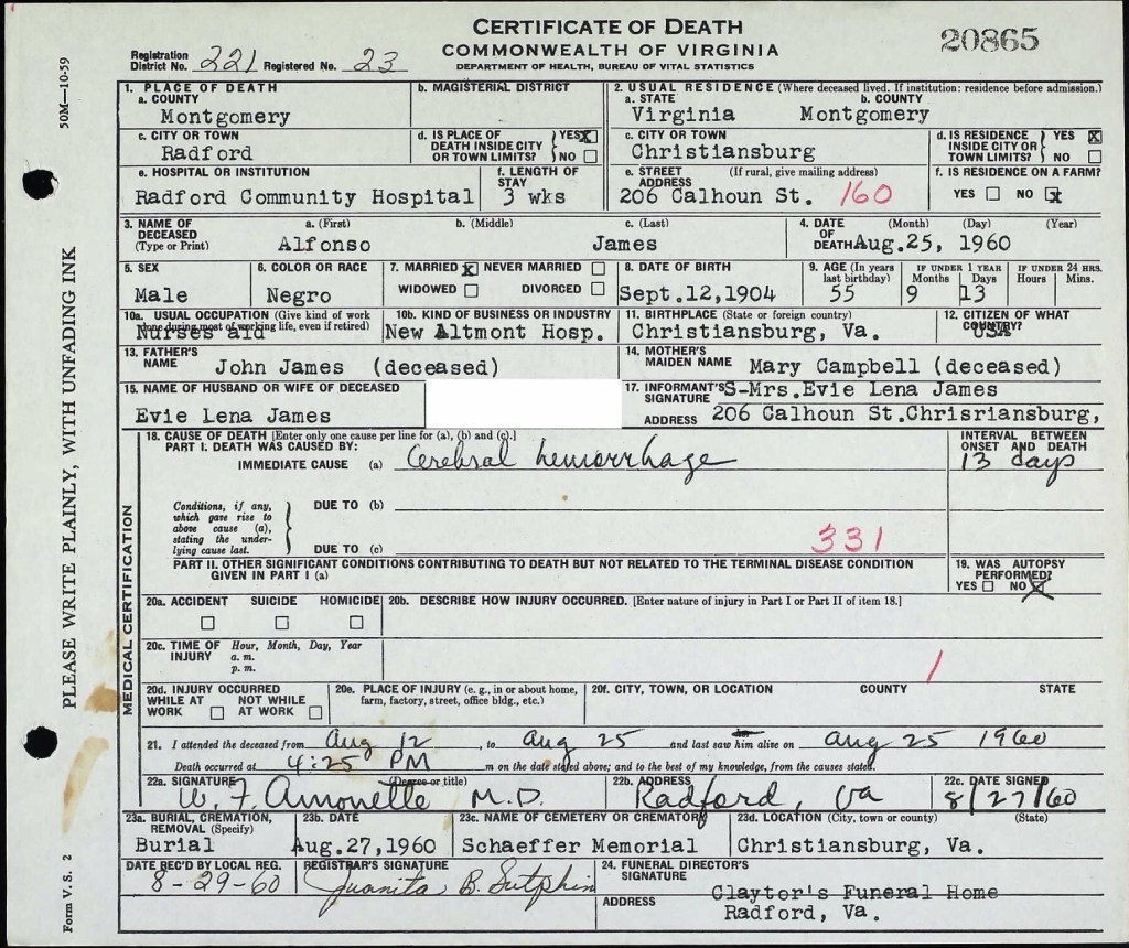
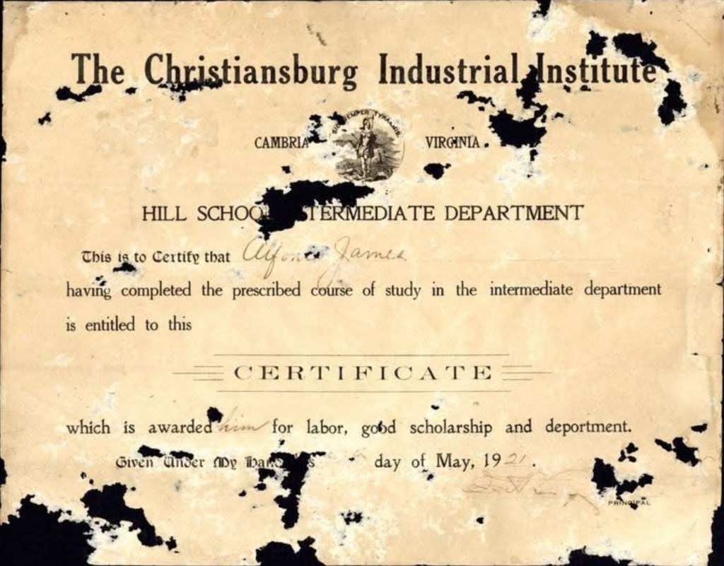
Alfonzo James, born in 1904, was the eldest of three children to John and Mary Campbell James. He graduated from the Hill School in Christiansburg in May 1921.

His father, John James, was born in Pennsylvania and, according to the 1900 U.S. Census, lived as a boarder with Principal Charles L. Marshall of the Christiansburg Institute at the age of 15. This household also included Edgar A. Long, his wife and daughter, Louis Brown (16 years old), and William Gray, a teacher.

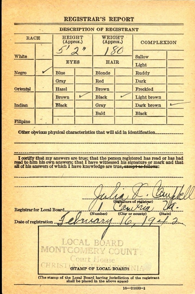
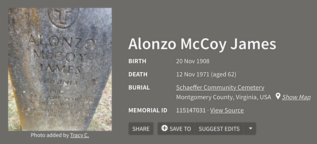
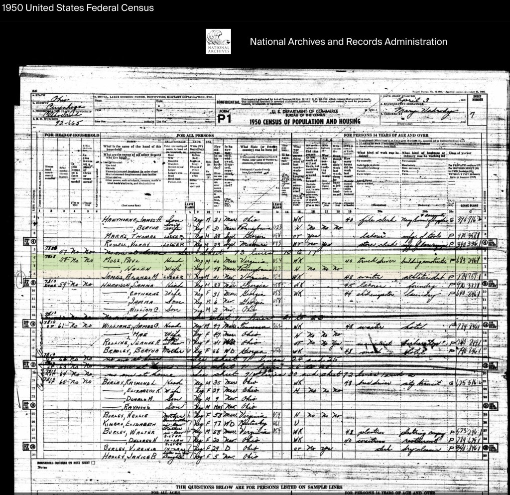
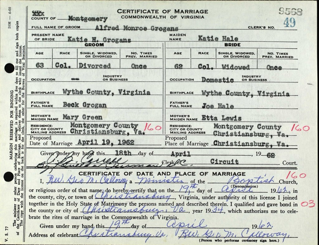
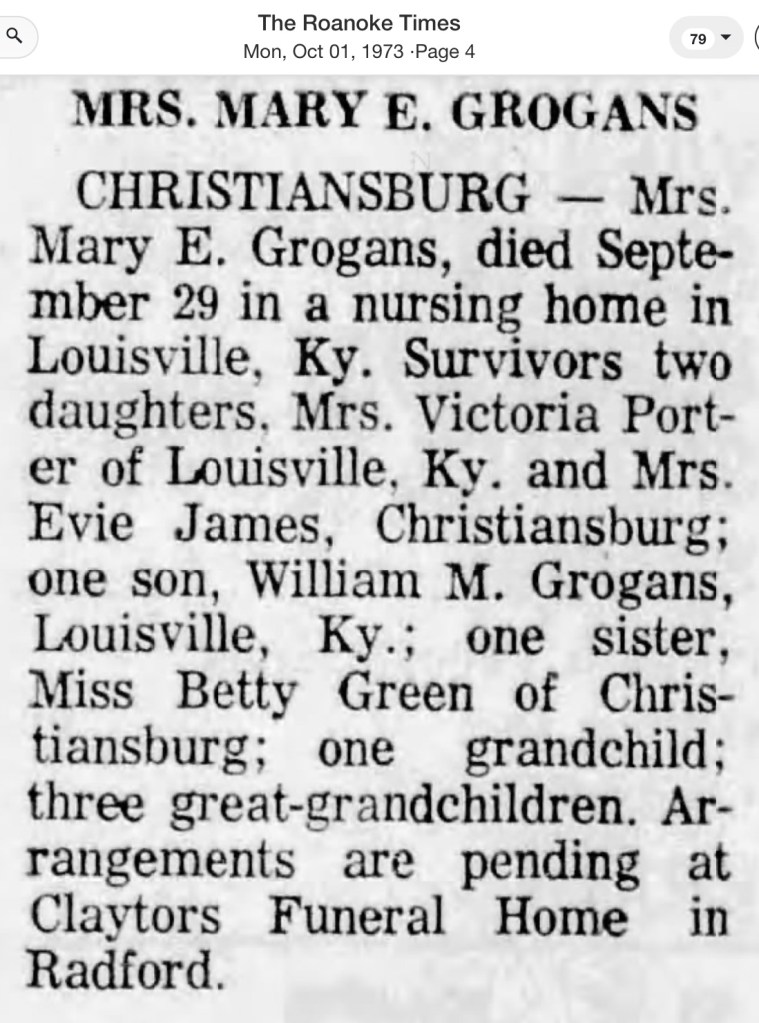
In the 1930 census, Alfonzo was recorded as a public school teacher. Over the years, he held various roles at the New Altamont Hospital in Christiansburg, working as a waiter and eventually as a nurse’s aide by the time of his passing in 1960. In 1946, he married Evie Lena Grogans. He was survived by his two brothers, Robert M. James and Alonzo McCoy James. Evie Grogans James passed away in 1977 and was a valued baker, recognized as Employee of the Month at Radford College.

Alfonzo’s diploma stands as a testament to his commitment to education and service. Preserving this certificate would honor his legacy and ensure that his contributions to the community are remembered.
Courtesy of Christiansburg Institute Digital Archive

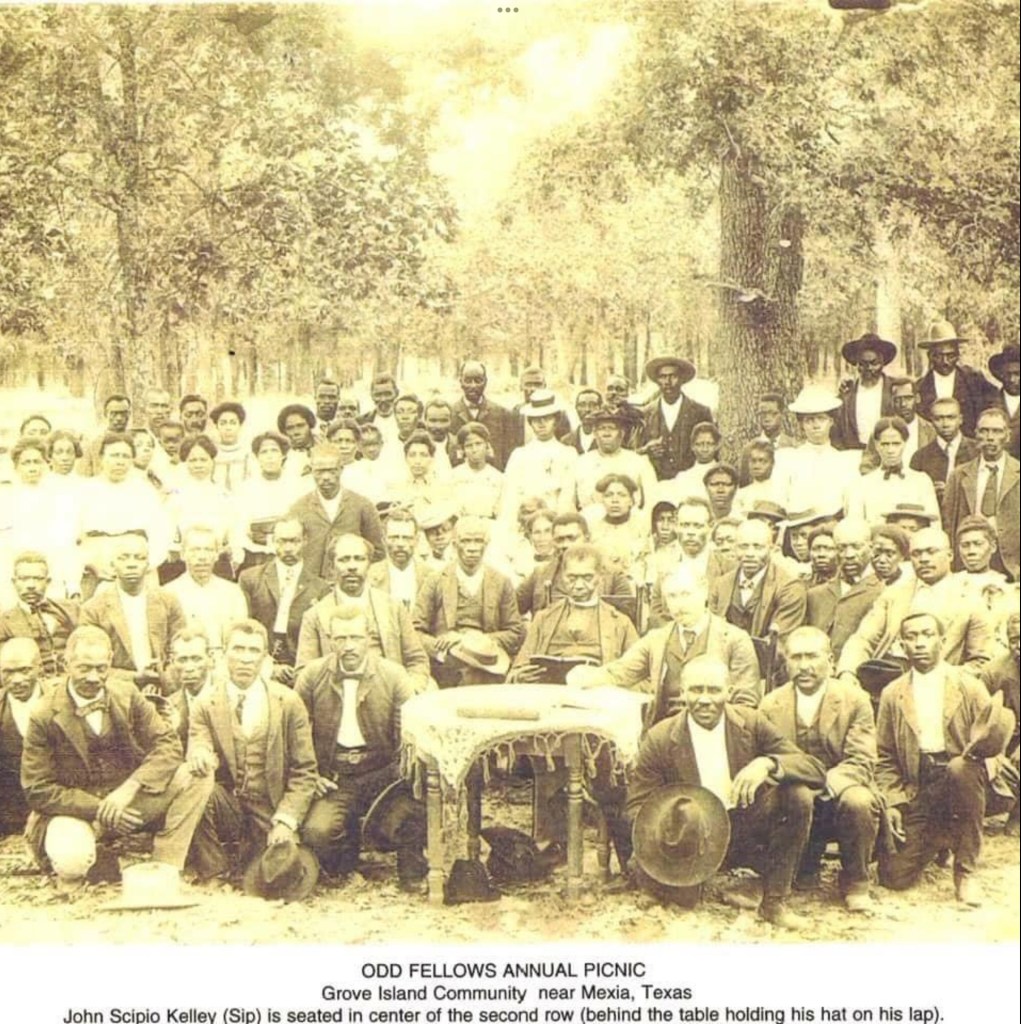
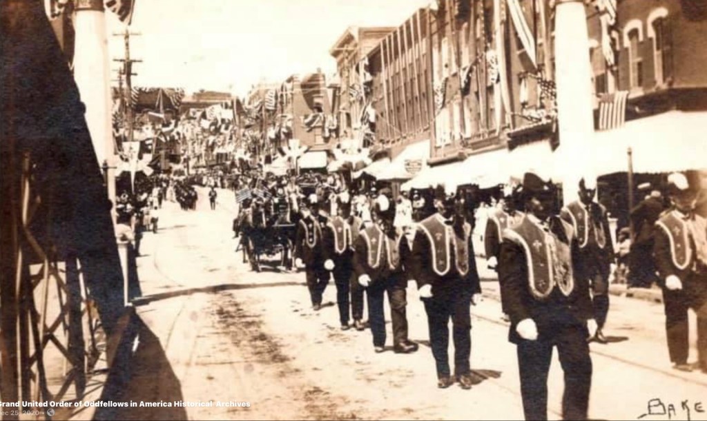
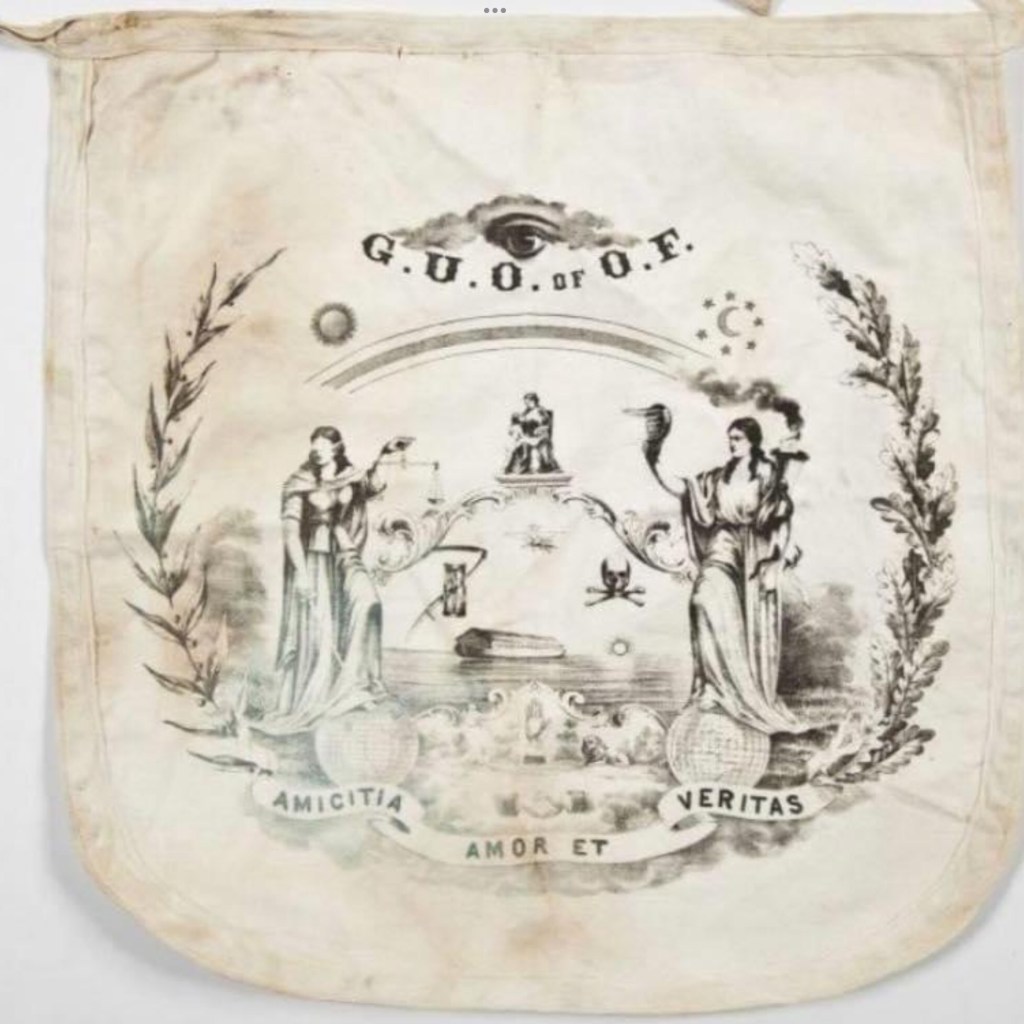
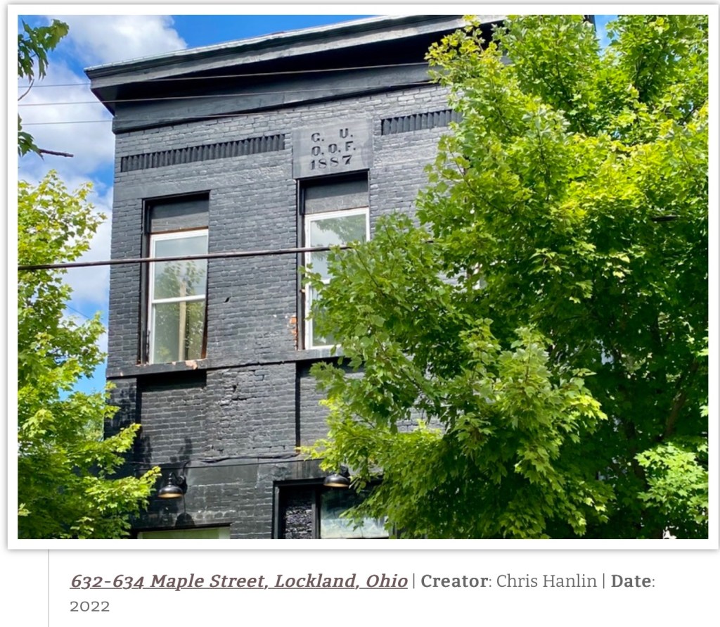
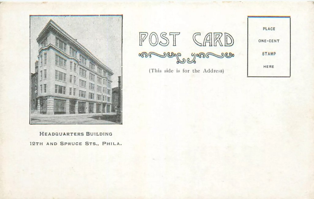
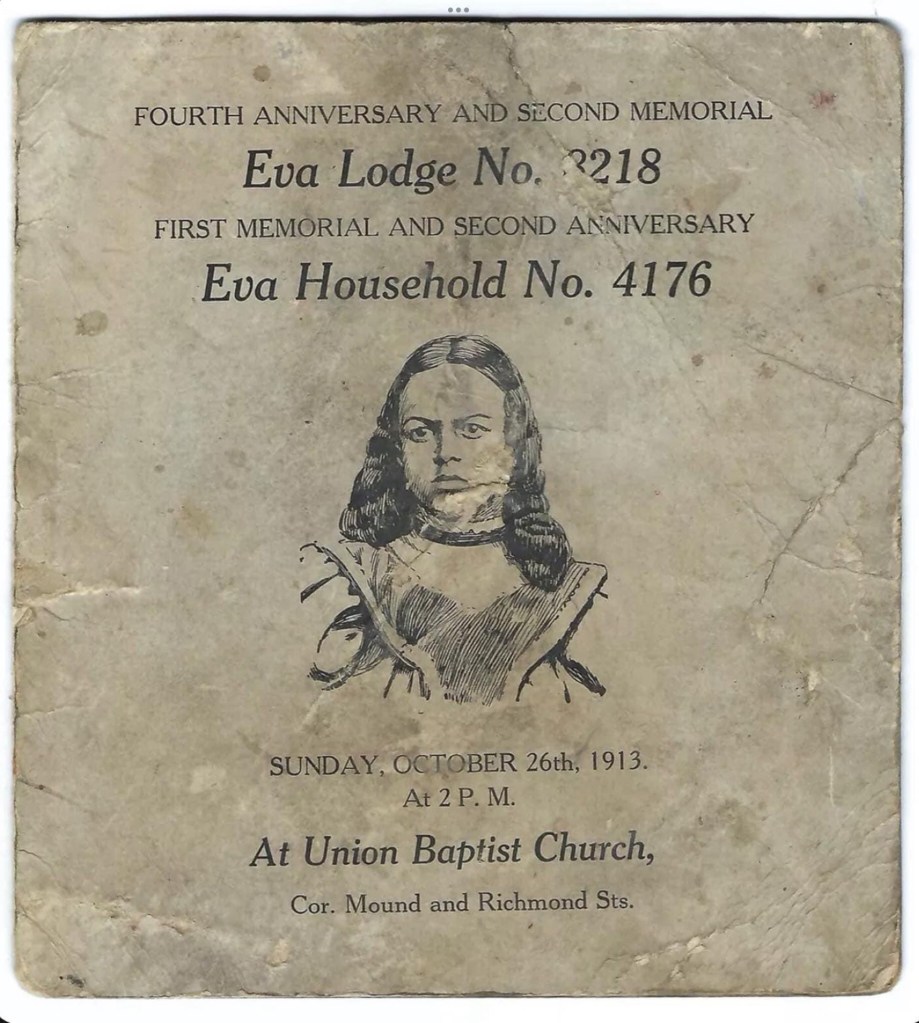
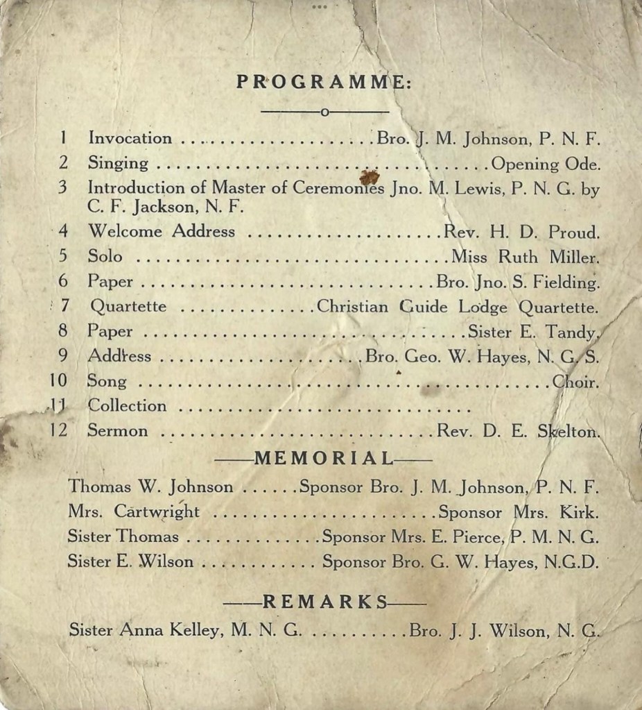
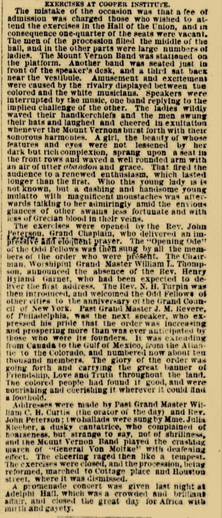
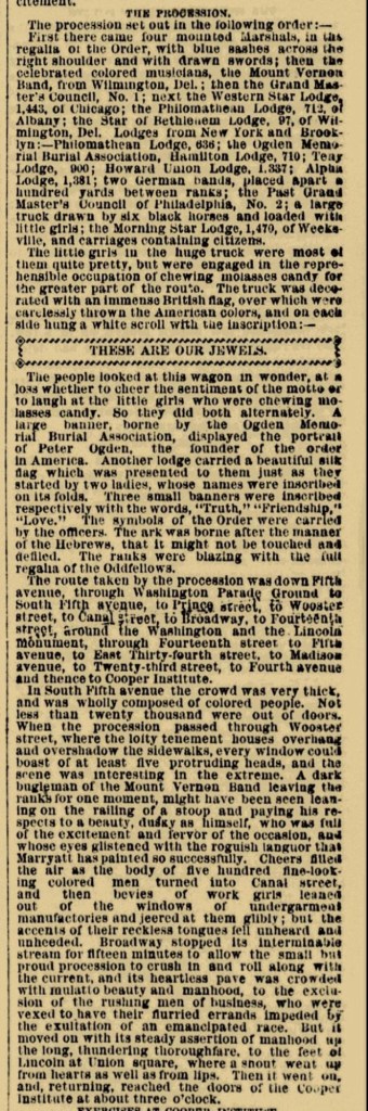
Grand United Order of Odd Fellows Images

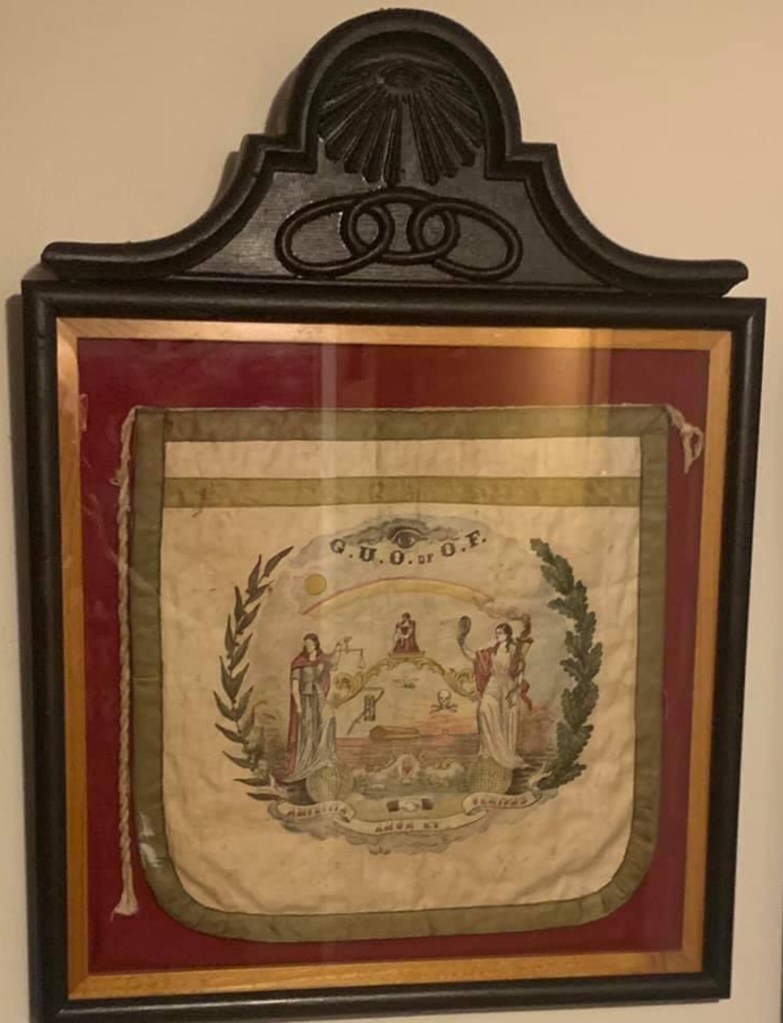
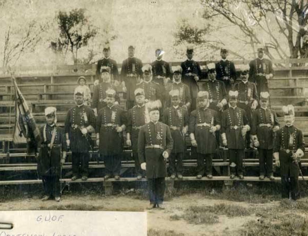
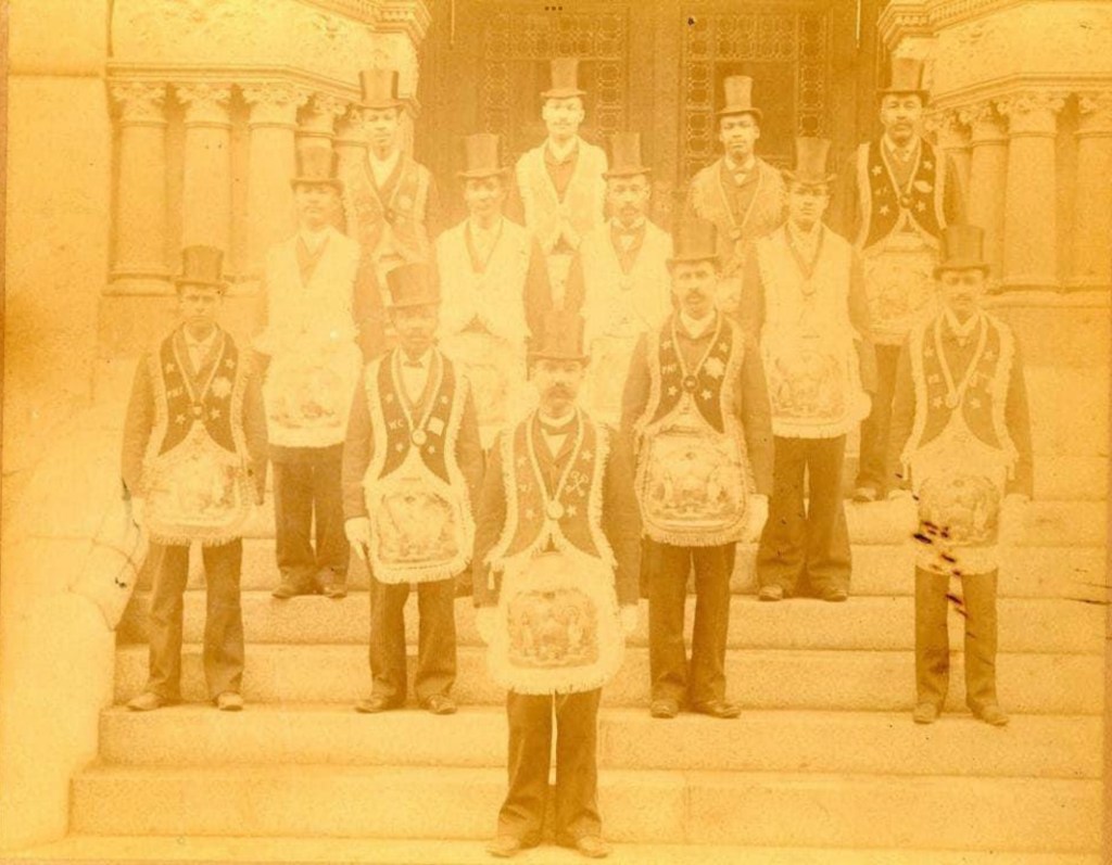
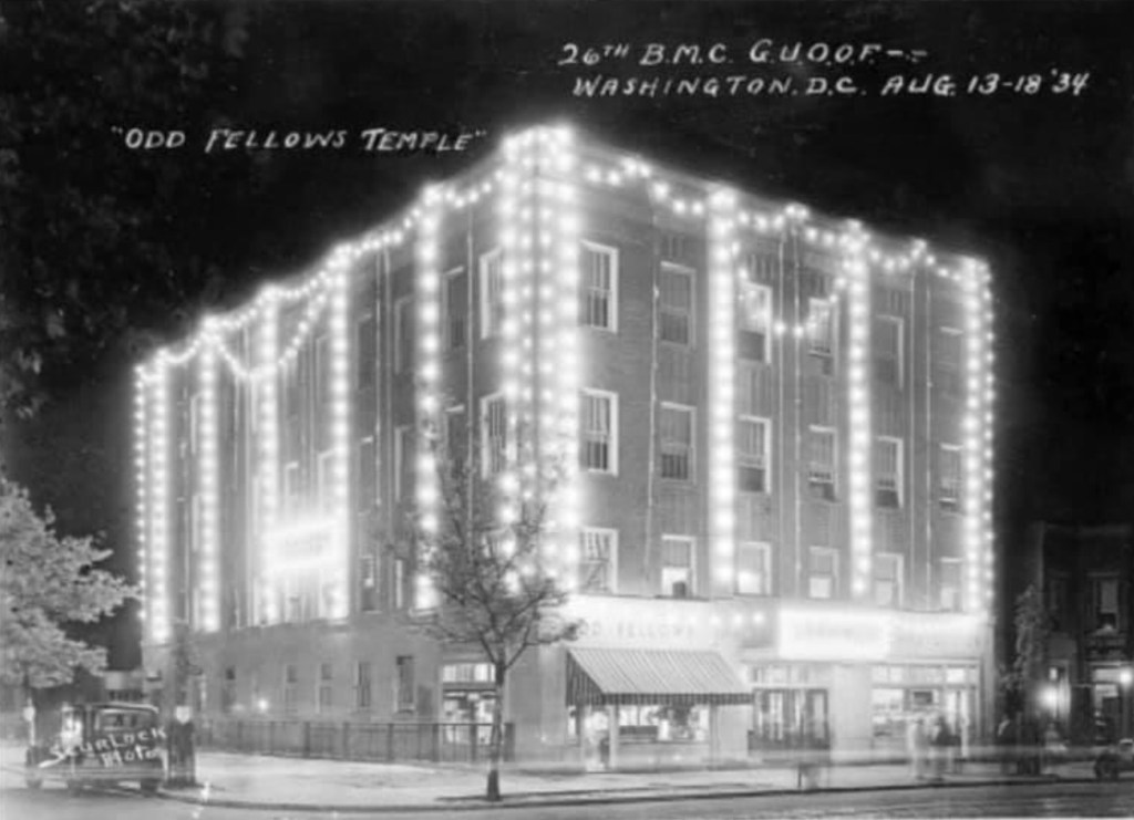
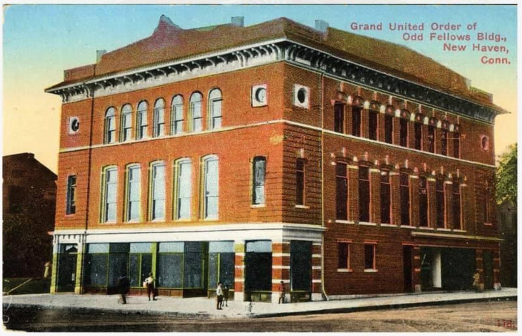
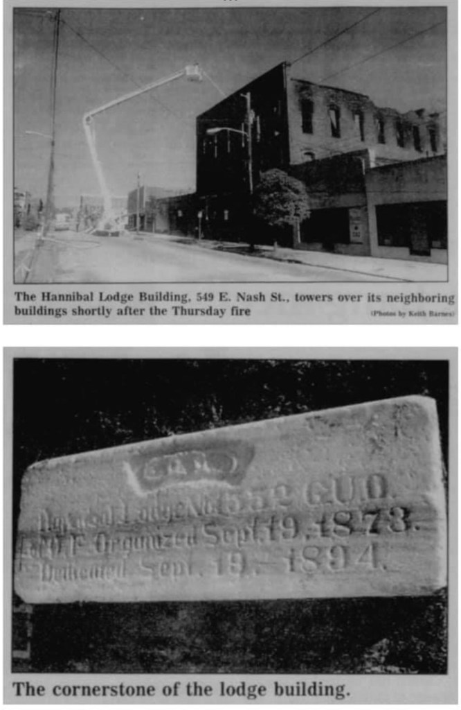
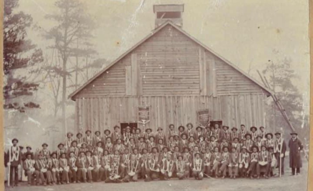
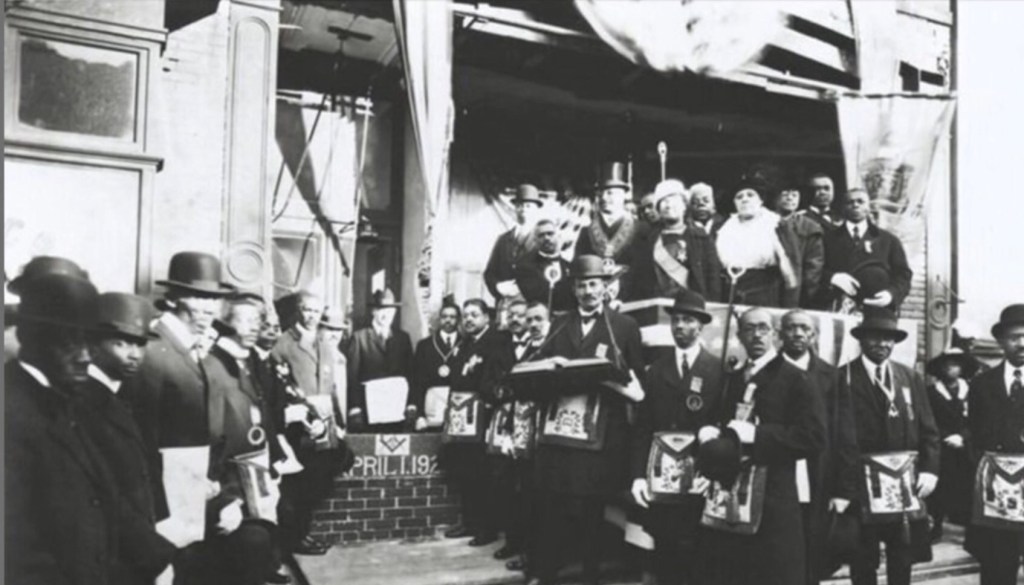
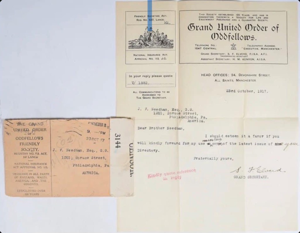
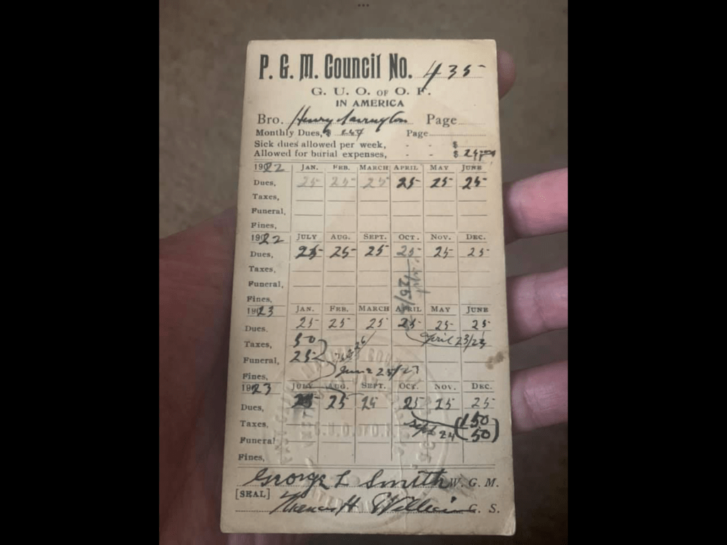
This webpage showcases a photo gallery of rare images featuring ceremonial regalia, equipment, documents, and leaders associated with the Grand United Order of Odd Fellows. While some images lack provenance, they offer valuable visual references for how members of the Blacksburg order may have appeared, especially since no living individuals can provide that information. (Many of these images were collected from eBay, Northern Star Lodge Facebook (No 715 NS) and other places.

Ceremonial Regalia and Equipment

Buildings

Innovative Preservation of GUOOF Sandy Spring Lodge No 6430, Sandy Springs, Maryland

Sandy Spring Lodge, No 6430

Sandy Spring, MD – The Grand United Order of Odd Fellows Lodge No. 6430 has undergone a stunning renovation. Their mission-driven use of the building serves as an inspiring model that could be replicated in Blacksburg. The restoration of the building involved the Advisory Council of Preservation. Check out their Facebook page

Documents

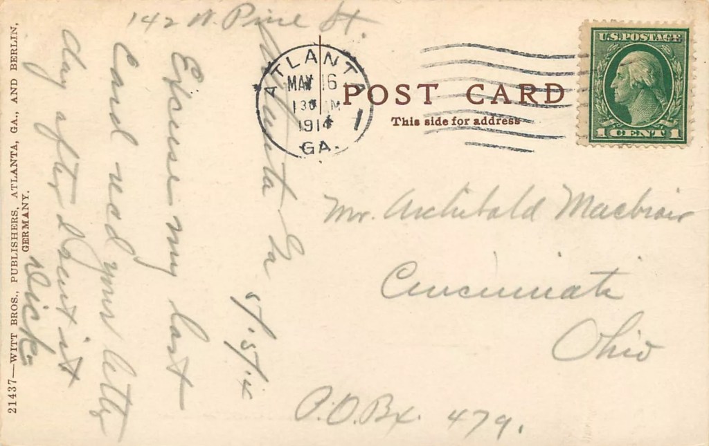
St Luke Bank and Trust Company, Richmond, VA

Who in Blacksburg was traveling by train to and from Richmond, carrying the financial transactions and funds collected by St. Frances Council No. 235.

Resources half million dollars. Depository for Gas and Water Accounts and Taxes of the City of Richmond. Mrs. Maggie L. Walker, Pres.; J. Thomas Newin, Z.D. Lewis, S.W. Robinson, Jr., and P.H. Ford, Vice-Presidents; Emmett C. Burke, Cashier; Melvin D. Walker, Asst. Cashier.
(Courtesy of William Shuman Collection of Richmond, Virginia Postcards, Accession Number 2004-09-12, Special Collections and Archives, James Branch Cabell Library, Virginia Commonwealth University.)

Mrs. Maggie Lena Walker was the first African American woman to serve as a bank president in the United States. The Maggie L. Walker National Historic Site in Richmond honors her remarkable life, legacy, and significant contributions to African American history, with her influence extending even to Blacksburg, Virginia.

St Luke Penny Savings Bank

Much has been documented about the creation and impact of the Penny Bank in Richmond. What remains to be uncovered is who in Blacksburg was traveling by train to and from Richmond, carrying the financial transactions and funds collected by St. Frances Council No. 235, established by Mrs Maggie Lena Walker, 4 August 1902.

Resources

Maggie L. Walker National Historic Site

Grand United Order of Odd Fellows and Currier & Ives Print

Symbols hold significant importance for members of the Grand United Order of Odd Fellows (GUOOF).

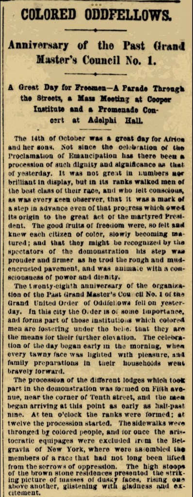
By the early 1900s, the Grand United Order of Odd Fellows had gained significant popularity, with both men and women joining its secret societies. This benevolent group was established in Blacksburg, Christiansburg and Pulaski, Virginia to improve their communities by providing charitable support to orphans, the sick, and the poor.

Symbols hold significant importance in education and as visual reminders for members of the Grand United Order of Odd Fellows (GUOOF) for several reasons:

  1. Simplification of Complex Ideas: Symbols distill complex concepts into simple, recognizable forms, making it easier to convey teachings and principles.
  2. Memory Aids: They serve as mnemonic devices, helping members remember key teachings, values, and rituals.
  3. Engagement: Visual representations engage members more deeply than text alone, fostering better understanding and retention.
  4. Communication: Symbols transcend language barriers, enabling diverse groups to share common understandings and values.
  5. Constant Presence: They act as continual, visual reminders of the GUOOF’s values and principles, reinforcing them in daily life.
  6. Identity and Unity: Symbols create a sense of belonging and unity among members by providing a shared set of images and meanings.
  7. Moral Guidance: They encapsulate moral and ethical lessons, guiding members in their conduct and decision-making.
  8. Tradition and Continuity: Symbols connect current members to the historical roots and traditions of the GUOOF, promoting continuity and respect for the organization’s heritage.

This Currier & Ives of New York 1881 print illustrate the common symbols which the order’s members would recognize and hold dear.